Satlas

About Satlas
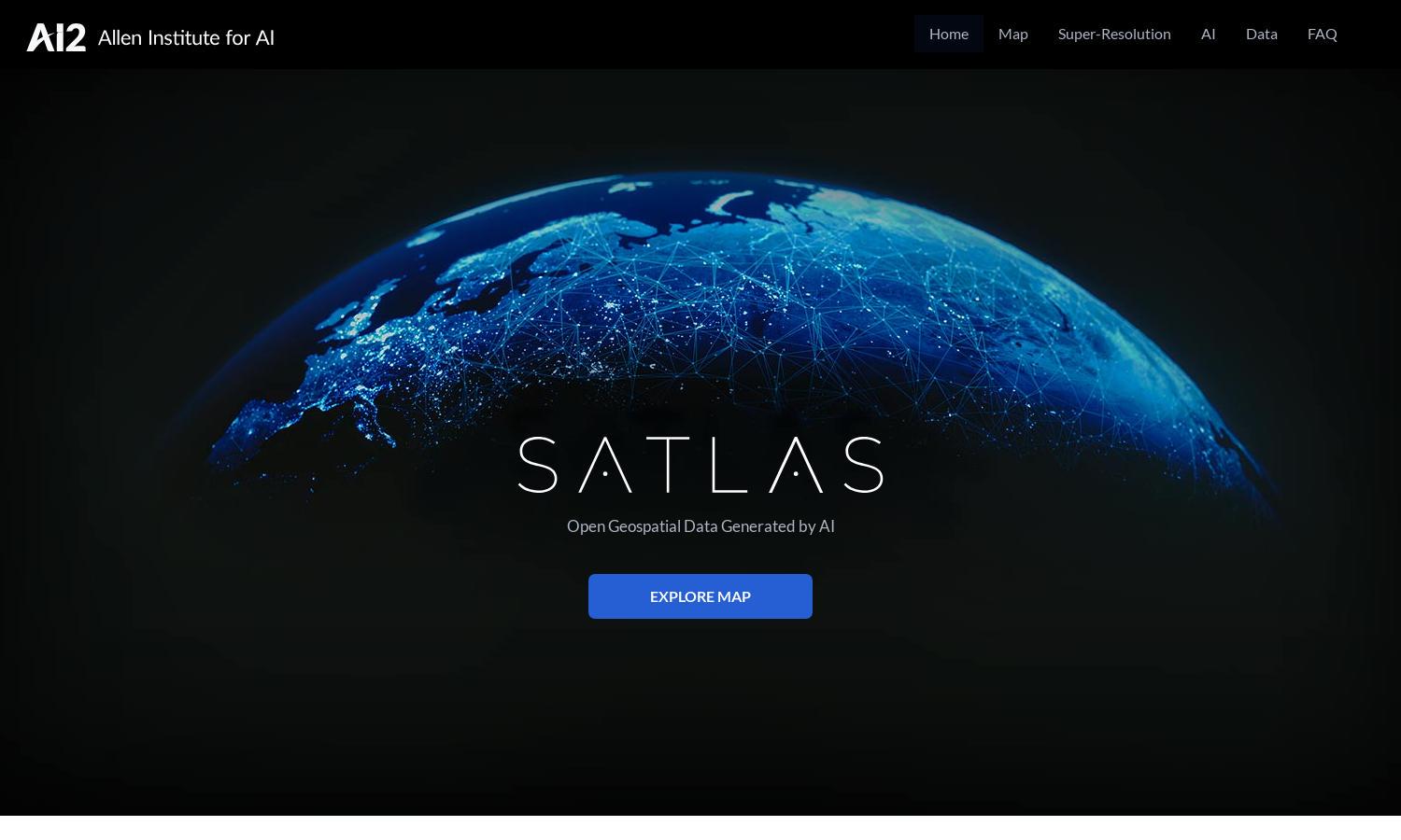
Satlas is a powerful tool that enables users to analyze global environmental changes through AI-annotated satellite imagery. Its innovative feature of super-resolution imagery enhances low-resolution data, providing clearer insights. Ideal for researchers, policymakers, and environmentalists, Satlas helps address climate-related challenges using advanced AI models.
Satlas offers free access to its AI-generated geospatial datasets. Users can download the data for offline analysis without any subscription fees. As a platform committed to open data, Satlas promotes widespread access to vital environmental information, empowering researchers and environmental advocates to make informed decisions.
The user interface of Satlas is designed for seamless navigation and interactive exploration. The layout allows users to easily access various features like super-resolution imagery, data exploration, and examples of environmental changes. With user-friendly design elements, Satlas ensures an engaging browsing experience for all users.
How Satlas works
Users first access Satlas through the website, where they can explore a variety of satellite imagery. After selecting the desired features, like viewing recent changes in renewable energy infrastructure or tree cover, they can utilize the super-resolution AI models to enhance data clarity. The platform's intuitive interface makes navigation straightforward and efficient, allowing users to extract valuable information easily.
Key Features for Satlas
Super-Resolution Imagery
Satlas features advanced super-resolution imagery that enhances low-resolution satellite images, providing detailed environmental insights. Users receive clearer visual data, facilitating better analysis of geographical changes over time. This unique capability positions Satlas at the forefront of satellite data innovation, allowing for more informed decision-making and research.
Geospatial Data Access
The geospatial data access of Satlas allows users to download AI-generated datasets for offline analysis. This feature promotes research and data exploration, providing vital information about environmental trends. By making these datasets available, Satlas enhances user capabilities to conduct in-depth studies independently.
AI Models and Training Datasets
Satlas employs state-of-the-art AI models and utilizes a large-scale remote sensing dataset called SatlasPretrain. This feature enables users to leverage advanced algorithms for precise analysis of satellite imagery. The training datasets include over 30 TB of imagery, ensuring comprehensive resources for effectively studying environmental changes.
You may also like:


