Flypix
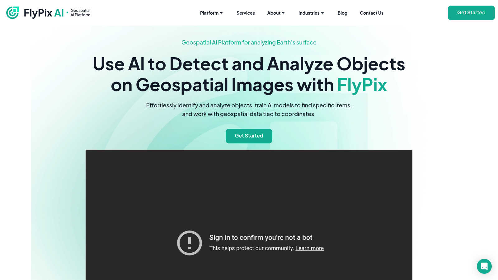
Flypix offers AI-driven geospatial solutions for analyzing Earth's surface and objects in images.
VisitPublished on:
November 15, 2024
About Flypix
Flypix offers flexible pricing plans for users, ranging from a free basic tier to professional packages. Each tier provides various storage, credits, and support levels, with discounts for annual billing. Upgrading unlocks advanced features, higher processing limits, and comprehensive analytics, enhancing user experiences and capabilities.
Flypix boasts a user-friendly interface designed for seamless navigation and enhanced browsing experiences. Its intuitive layout allows users to easily access features such as model training and object detection. The platform’s design emphasizes efficiency and accessibility, making it easy for users to analyze geospatial data effortlessly.
Frequently Asked Questions
Common questions and answers about Flypix.
How does Flypix help industries with geospatial analysis?
Flypix provides industries with an AI-driven platform that simplifies geospatial analysis. By enabling rapid object detection and custom model training, users can gain valuable insights from their data. This not only enhances accuracy but also minimizes the time spent on manual analysis, empowering businesses to make informed decisions.
What pricing plans are available on Flypix?
Flypix offers several pricing plans to cater to different user needs. From a free basic plan to professional tiers, each plan includes varying storage, credits, and levels of support. Users can enjoy special discounts for annual subscriptions, ensuring they find a suitable option while maximizing feature access.
What unique features does Flypix offer to enhance user experience?
Flypix enhances user experience with features like an intuitive design, easy model training, and an interactive sandbox. This combination allows users to seamlessly navigate the platform, experiment with AI models, and efficiently analyze complex geospatial data, ensuring they maximize their productivity and insights.
What competitive advantages does Flypix provide over other platforms?
Flypix stands out with its powerful AI technology that enables rapid object identification and custom model training without requiring deep technical knowledge. This unique blend of features, along with an interactive sandbox experience, provides users with a game-changing tool for geospatial analysis, giving them a strategic edge.
How does Flypix meet specific user needs in geospatial analysis?
Flypix is designed to meet specific user needs by offering tailored object detection and analysis capabilities. With customizable AI model training and collaboration features, users can adapt the platform according to their industry requirements, ensuring effective and personalized solutions for their geospatial challenges.
How can users benefit from Flypix's advanced AI capabilities?
Users benefit from Flypix’s advanced AI capabilities by gaining faster, more accurate object detection and analysis in geospatial images. This significantly reduces manual workload and enables businesses to derive actionable insights quickly, ultimately enhancing operational efficiency and data-driven decision-making.
You may also like:
ThinkSound - AI Video-to-Audio Generator
Transform any video into immersive audio experiences with AI-powered sound generation and editing.
JobMojito
Real-time AI avatar interviews, branded portals, smart scoring, and multilingual support to help you automate and scale hiring.
Instacaptions
Best AI Instagram Captions Generator Create Viral Insta Captions


